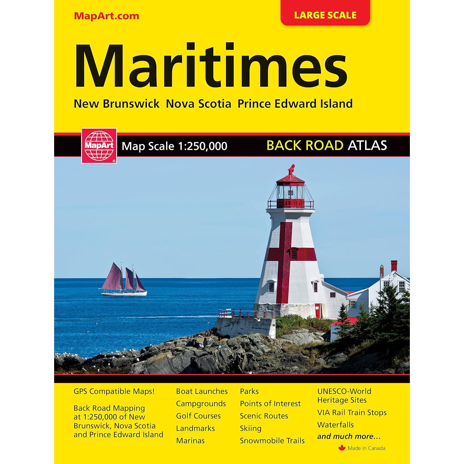
Atlantic Canada Road Atlas

GPS compatible 1:250,000 back road mapping of New Brunswick, Nova Scotia, PEI. Includes provincial mapping at 1:1,500,000 of all the Atlantic Canada provinces. Also includes distance chart, scenic routes, community and road index plus many map features such as points of interest, national historic sites, viewpoints, campgrounds, beaches, waterfalls and more!

Last updated on July 26, 2024 2:44 pm

Amazon.ca

Add to Wishlist
Add to Wishlist
Categories: , , , Tags: ,

Description

Reviews

There are no reviews yet.

Be the first to review “Atlantic Canada Road Atlas”

Your email address will not be published. Required fields are marked *

You may also like…